

See the wind before you build
Our software models the buildings and terrain, mapping where people will be comfortable all year.
Supported by


What it does for your project
A year-round wind comfort map, following industry standards, based on local weather data.

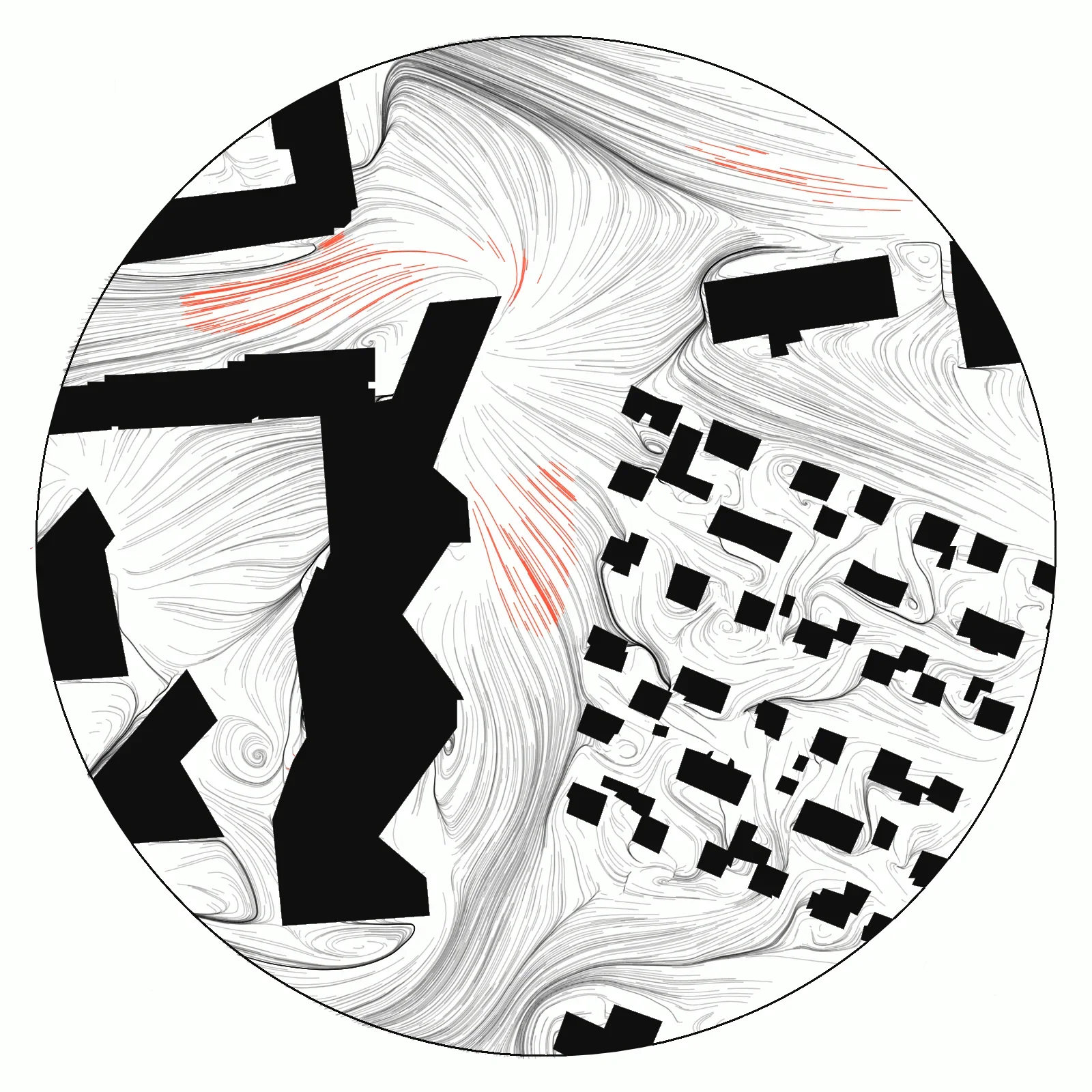
Analyze wind from different directions. See how it moves and is affected by nearby buildings.

Find the highest wind loads on walls and roofs, key for cladding and structural design.

We automatically fetch terrain and local building geometries. Import your own building models and test different designs.

Sun-hours on the ground, walls and roofs, over the whole year. Useful for optimal solar panel placement.

Automatically produced in English or Icelandic, tailored to your site and ready to hand a client.

Apply for the beta
Tell us about your work and a project you would test it on.